3D visualization physical security, data center infrastructure and network visualization for smart cities intelligent infrastructures applications for cities
3D visualization physical security, data center infrastructure and network visualization for smart cities intelligent infrastructures applications for cities
Smart Cities
Cities, Districts, Zones.
Embracing the Infrastructure Evolution, smart cities and intelligent infrastructures
Globally, cities and infrastructures are evolving rapidly. The implementation of "green" methodologies, services, applications and intelligent infrastructures to reduce costs, increase operational efficiency and sustainability proves
to be a great expectation. However, browsing through these various platforms and databases to make informed decisions can be tedious and time-consuming.
Unifying all city management systems, construction and energy and data can be achieved through our systems. It provides a combined innovative design and development platform that allows any user to easily create customized monitoring
and infrastructure applications for cities, intelligently analyze data, make smart decisions and be more profitable.
3D visualization physical security, data center infrastructure and network visualization for smart cities intelligent infrastructures applications for cities
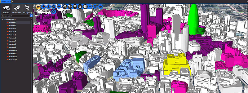
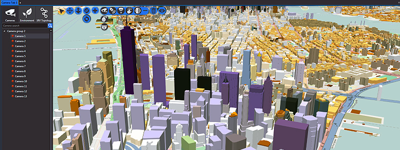
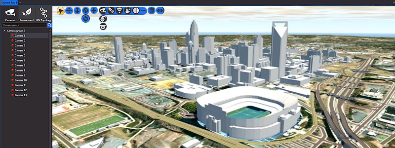
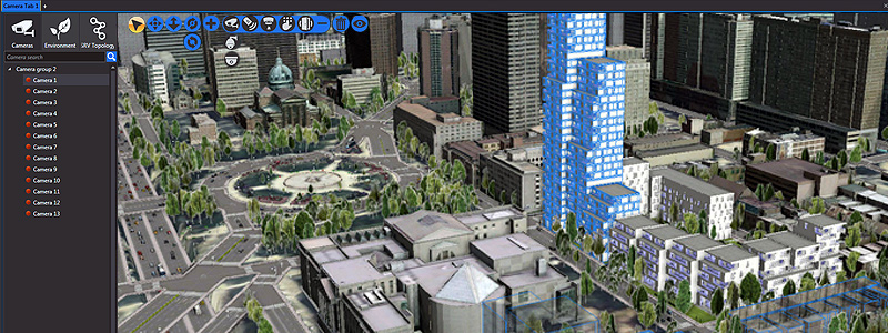
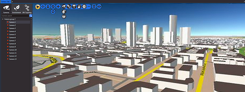
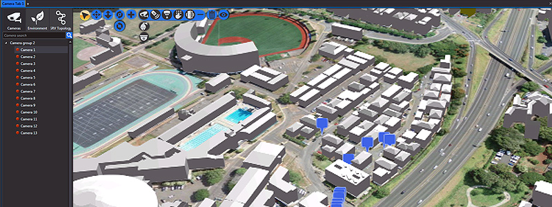
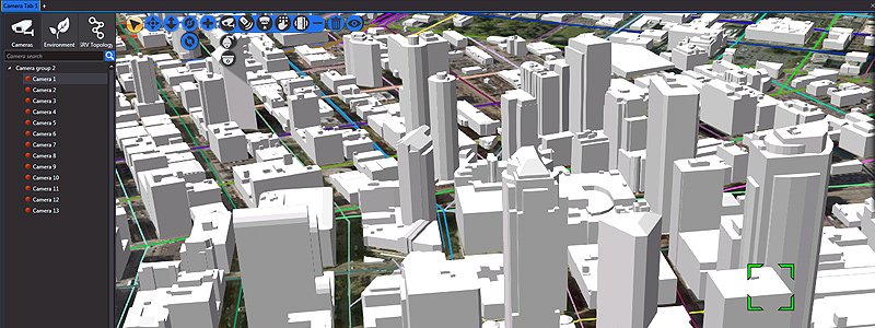
Cameras, Access Controls, Sensors, and Other Devices
Unification in a 3D model of Camcorders, Access Controls, Motion Sensors, Fire Detectors, Alarms and any other device that can join the network, allows operators to have an immediate view of events, streamlining their Response time
and providing them with access to the live images of the cameras in the zone and to the visual of sensors and other devices in the network according to the situation happened.
Information Storage
The video and stored information are used to visualize events that happened in the past in order to investigate any past events, such as evidence to support investigations into energy grid failures, water distribution malfunction,
energy consumption anomalies, traffic, etc.
FOLLOW US